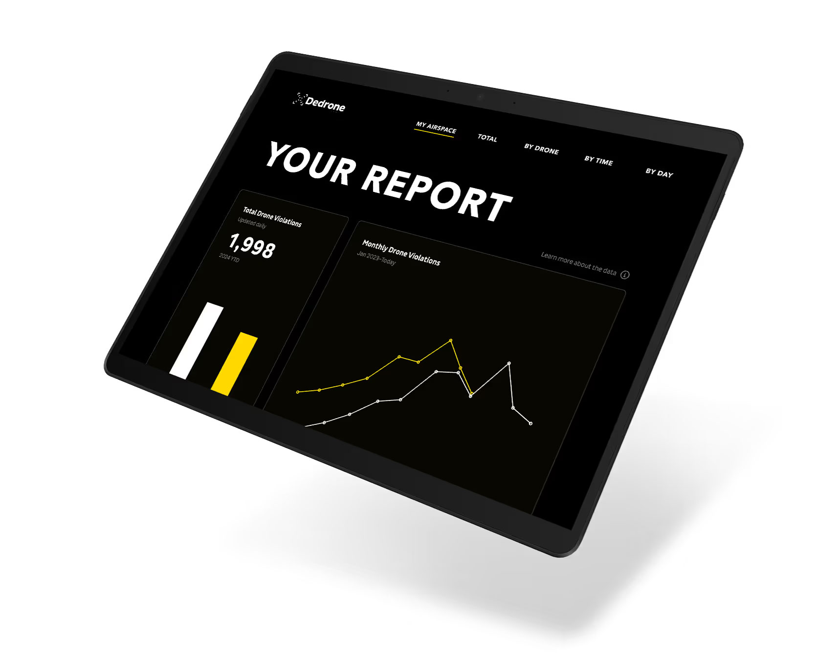
As the presence of drones in our airspace continues to grow, effective monitoring of their behavior is essential. In response to evolving flight restrictions and the expanding role of drones, Dedrone developed the Drone Violations Database by leveraging our robust Data as a Service (DaaS) platform. This invaluable resource provides real-time insights into drone activity across the United States, offering vital data and trends concerning drone violations. Unlike other airspace security solutions, Dedrone integrates data from RF signal, radar, and camera detection, ensuring comprehensive drone identification. With an extensive network of 559 sensors deployed in 50 key cities (United States), we lead the industry in real-time detection capabilities and serve as the only private database offering such advanced monitoring of drone activities.
In general, drone pilots can only fly their drones in uncontrolled airspace below 400 feet above the ground (AGL). Commercial drone operators are required to get permission from the FAA before flying in controlled airspace. Source
Based on
Dedrone Data
Collected by
559+
Sensors
50+ Cities
United States
Updated daily
2024
Jan 2023–Today
Jan 2023–Today
Jan 2023–Today
Jan 2023–Today
Jan 2023–Today
Jan 2023–Today
Jan 2023–Today
Jan 2023–Today
Jan 2023–Today
Jan 2023–Today
Dedrone's Drone Violations Database provides real-time insights of drone activities and violations. For tailored information specific to your airspace, we encourage you to reach out to the Dedrone team today.
Contact us